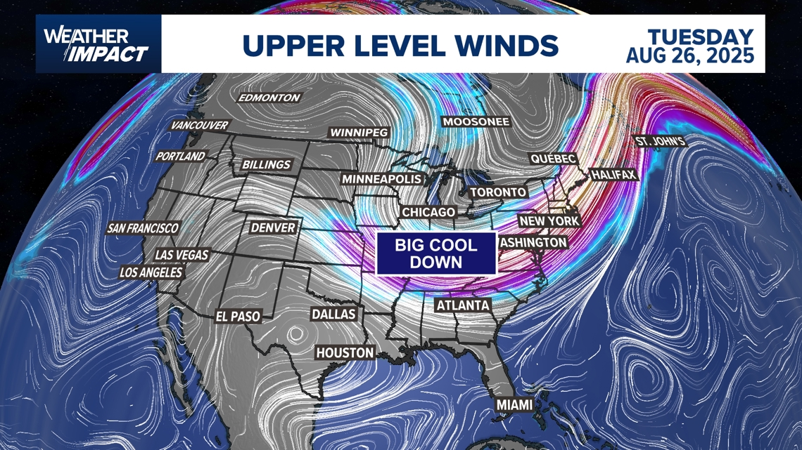
Rare August cold front to cool much of U.S. — but will Houston feel any relief?

Houston, however, may stay stuck in typical late-August heat and humidity.
Houston is still forecast to be more of a southerly flow off the Gulf, so I don’t know if we’ll feel much with this. Monday and Tuesday highs in Houston are projected near 95 to 96, right at normal for this time of year.
By midweek, though, Houston could catch the edge of the front with a shift in winds and a better chance for rain.

We might see a little bit of a shift to the northeast out of the wind going into Wednesday. But any relief may come more from rain-cooled air than from the front itself.
Maybe we get a little taste.
While the city may miss the brunt of this rare late-summer cool snap, it’s an unusually strong pattern for August and could bring follow-up fronts into early September.


